This blog had long been relegated to the category of missing and,
perhaps, forgotten. After looking at the pictures, I decided it might be
worth giving the whole thing a new look. With that in mind, here goes...
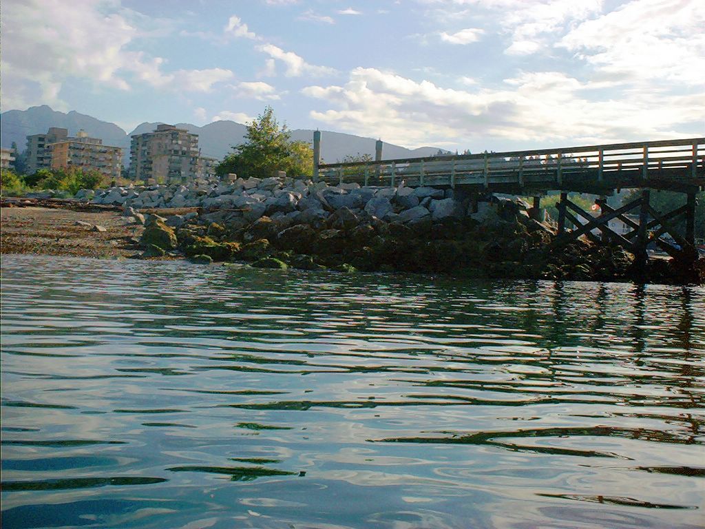
I launched at 8:30 AM on just the other side of the Ambleside Pier.
The western beach at Ambleside Park.
-->
==============================
==============================
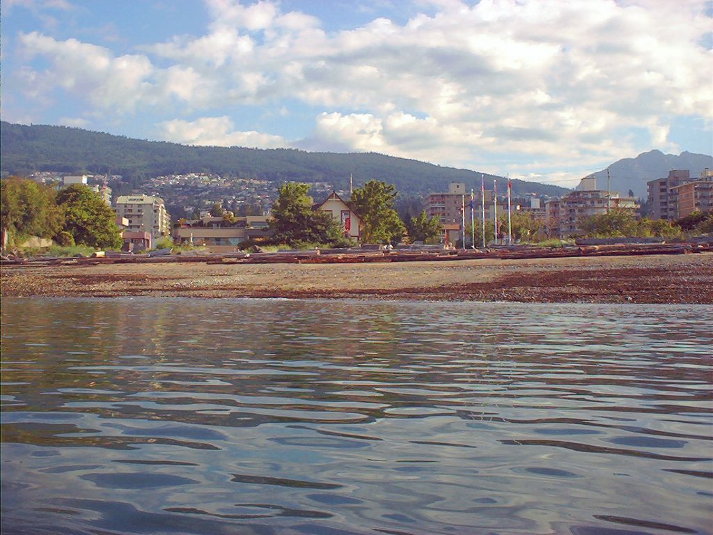
Having passed the fishing pier at Ambleside, I make for John Lawson pier (at 10 o'clock -- bearing, NOT time).
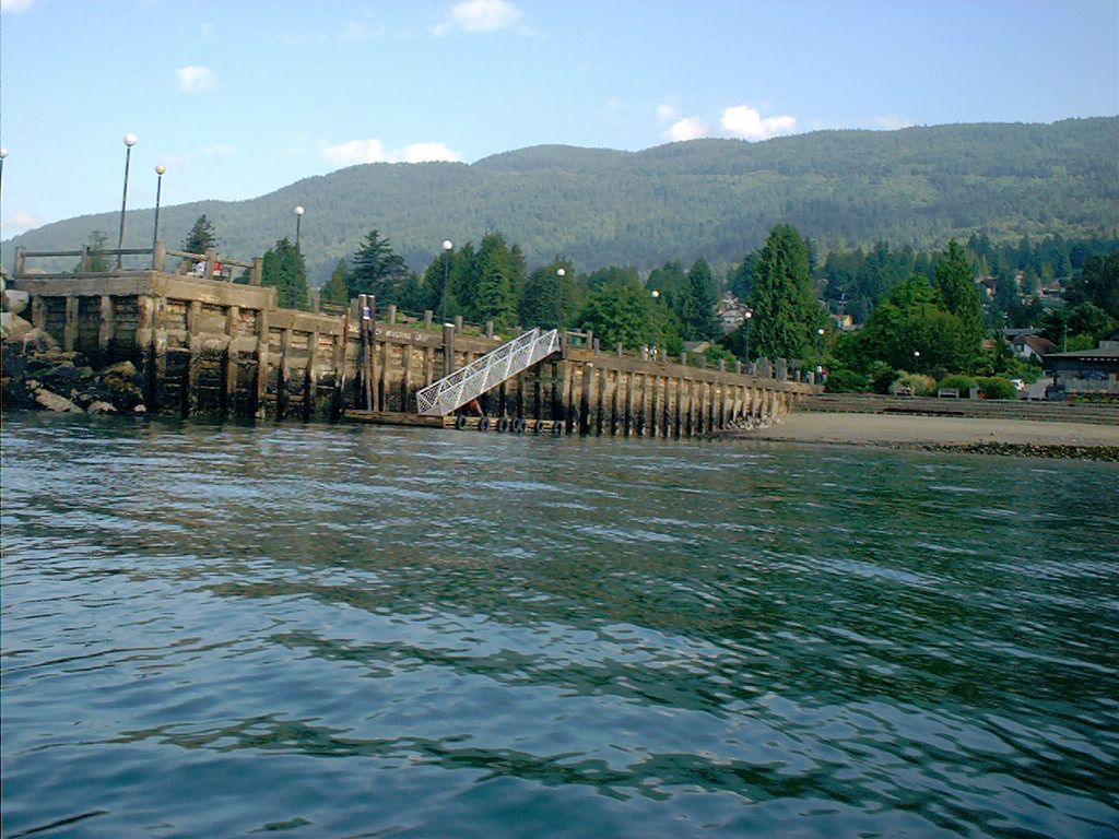
The somewhat shortened pier at John Lawson Park.
-->
==============================
==============================
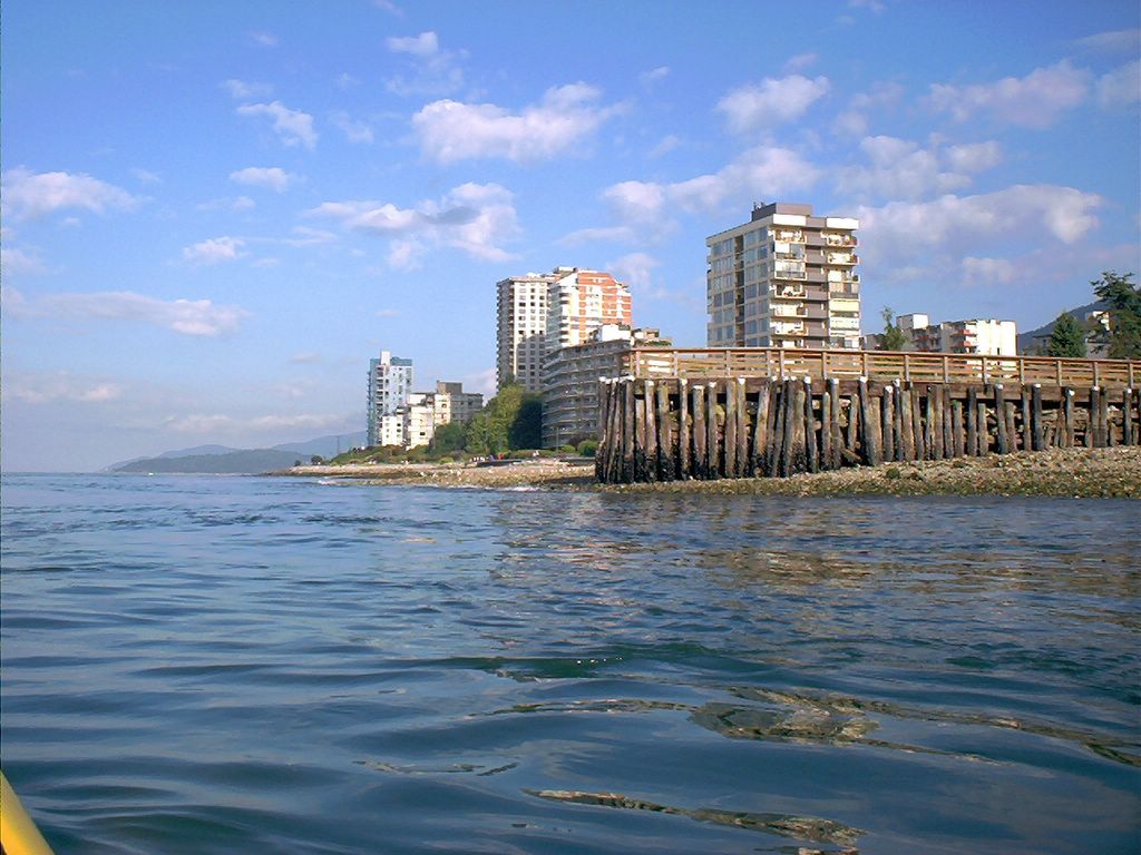
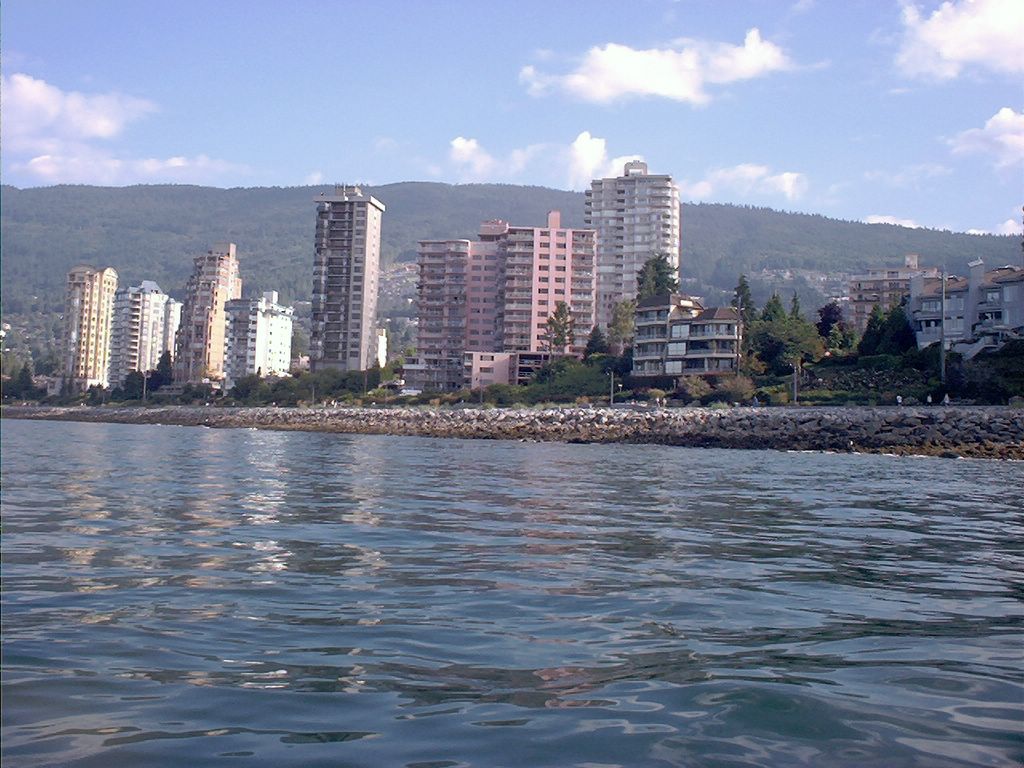
Passing the West Vancouver highrises between John Lawson Park and Dundarave with the seawall in the foreground.
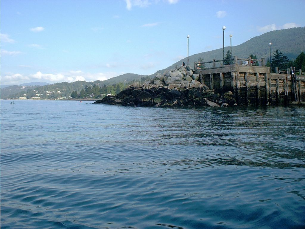
Dundarave Pier.
Passing the Dundarave Pier.
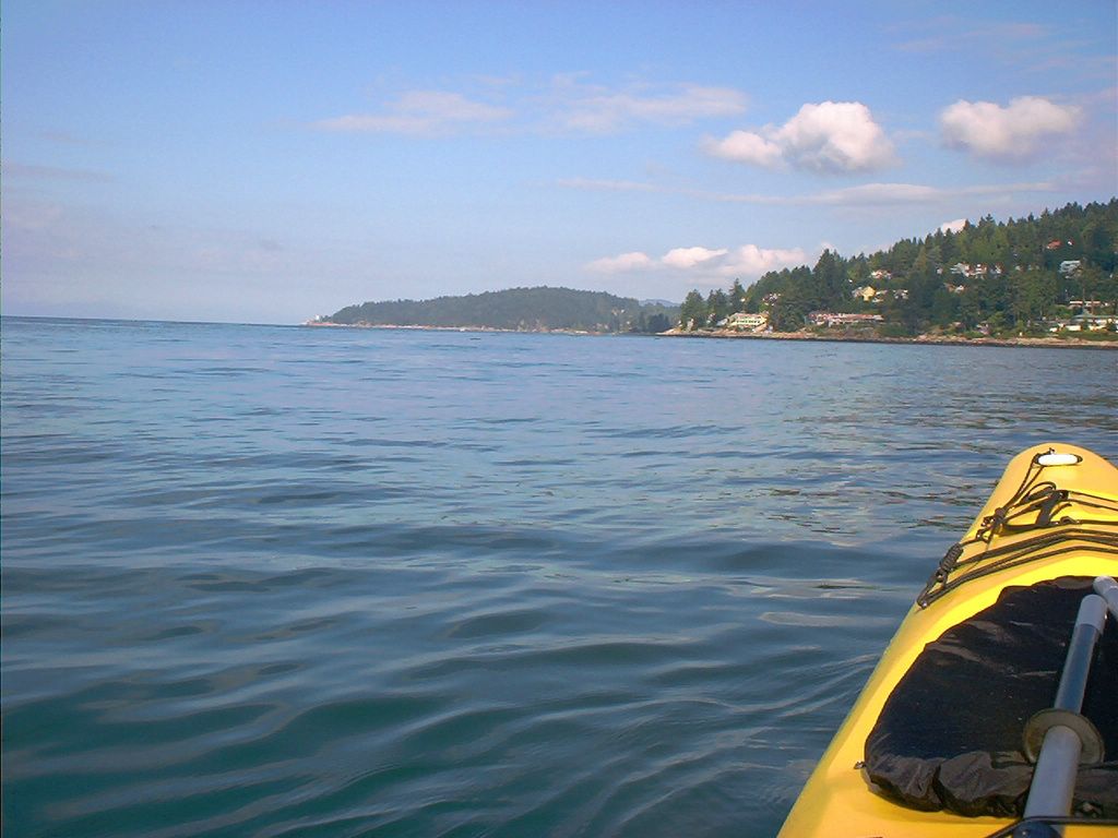
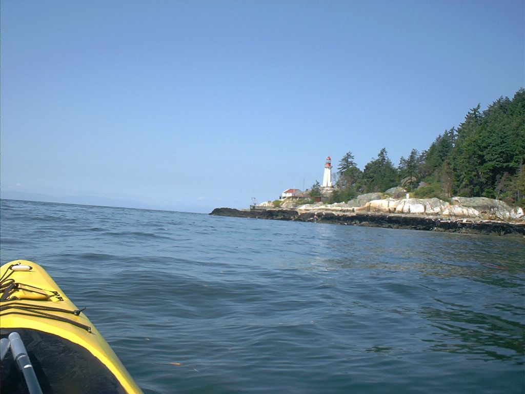
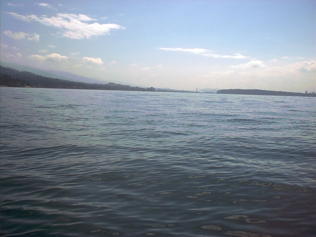
Point Atkinson (my destination) straight ahead.
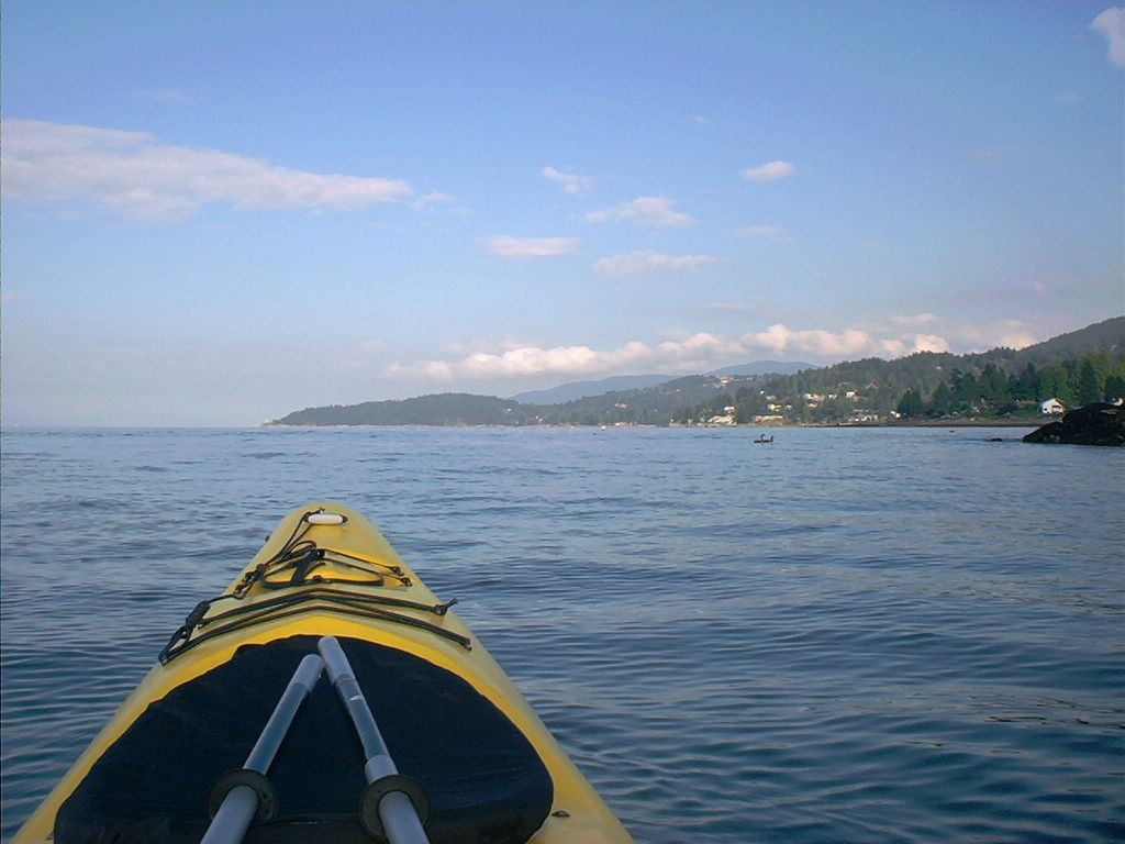
West Bay to starboard, and Point Atkinson (my destination) at 10 o'clock.
-->
==============================
==============================
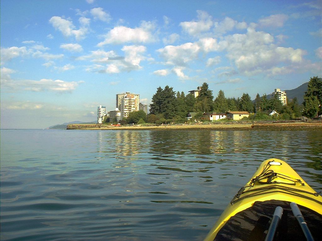
West Bay.
West Bay.
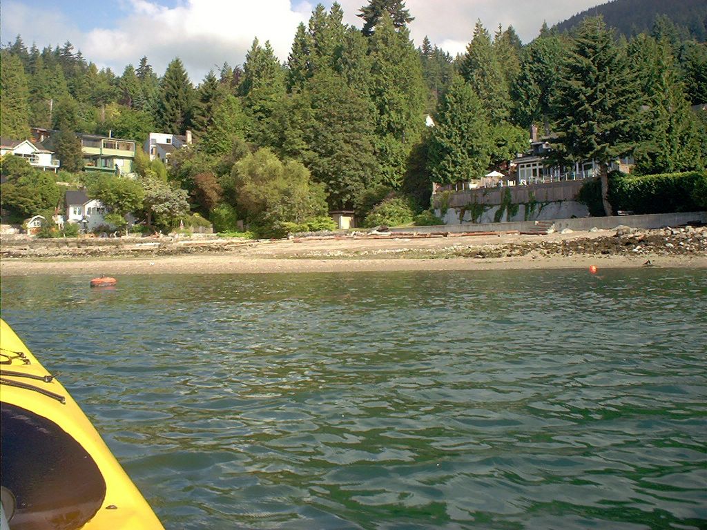
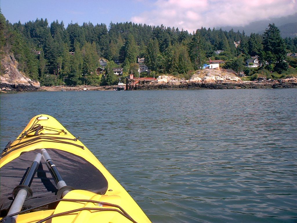
Sandy Beach Park (in Sandy Cove, according to the charts).
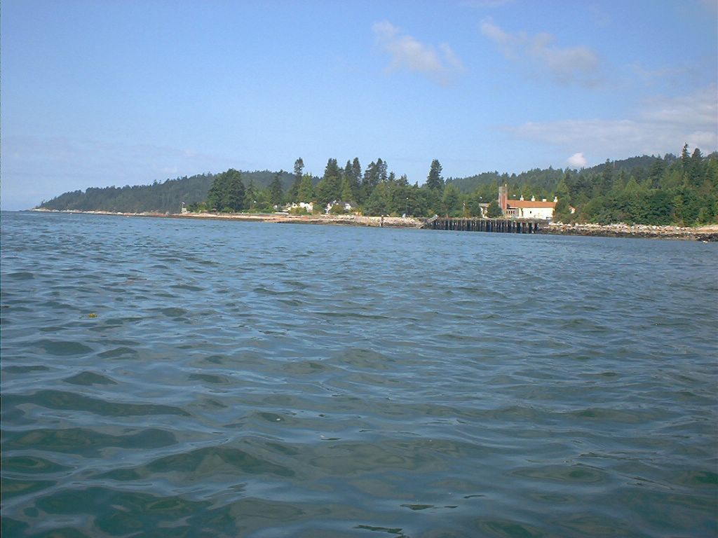
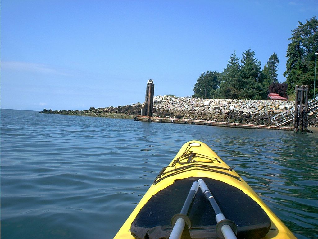
Just past Sandy Beach Park: Fisheries research facility.
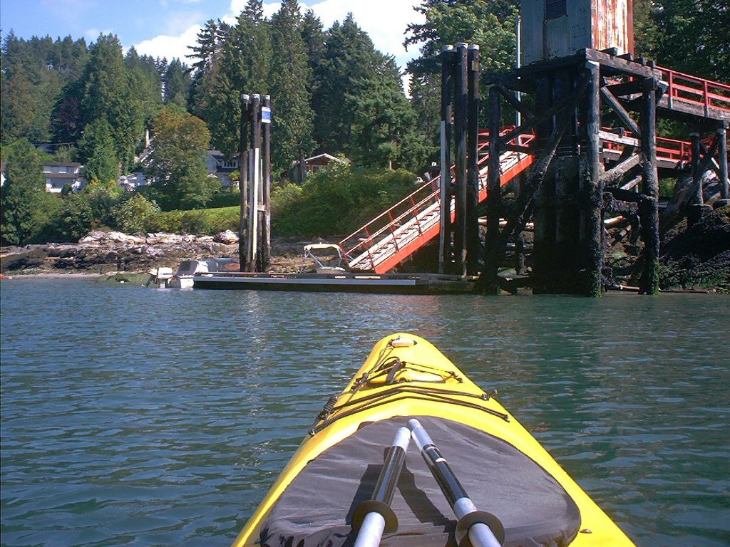
The dock at the Fisheries Research Station.
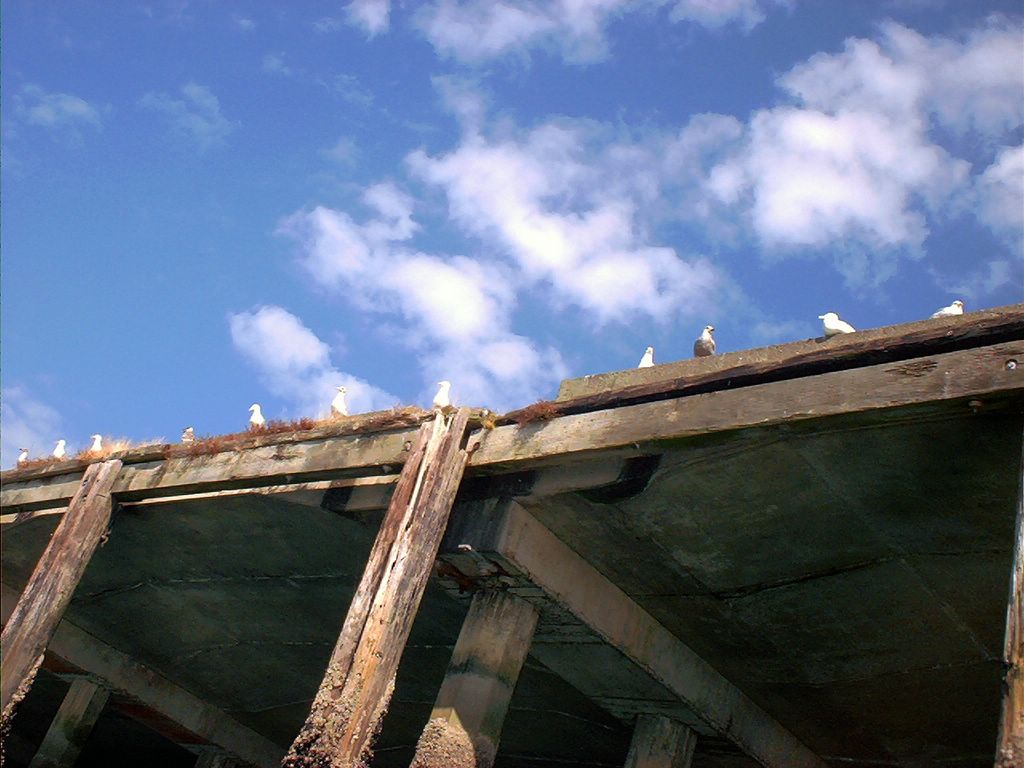
Seagull salute as I pass the wharf at the Fisheries Research Station just past Sandy Beach.
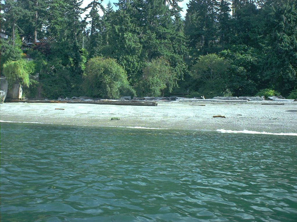
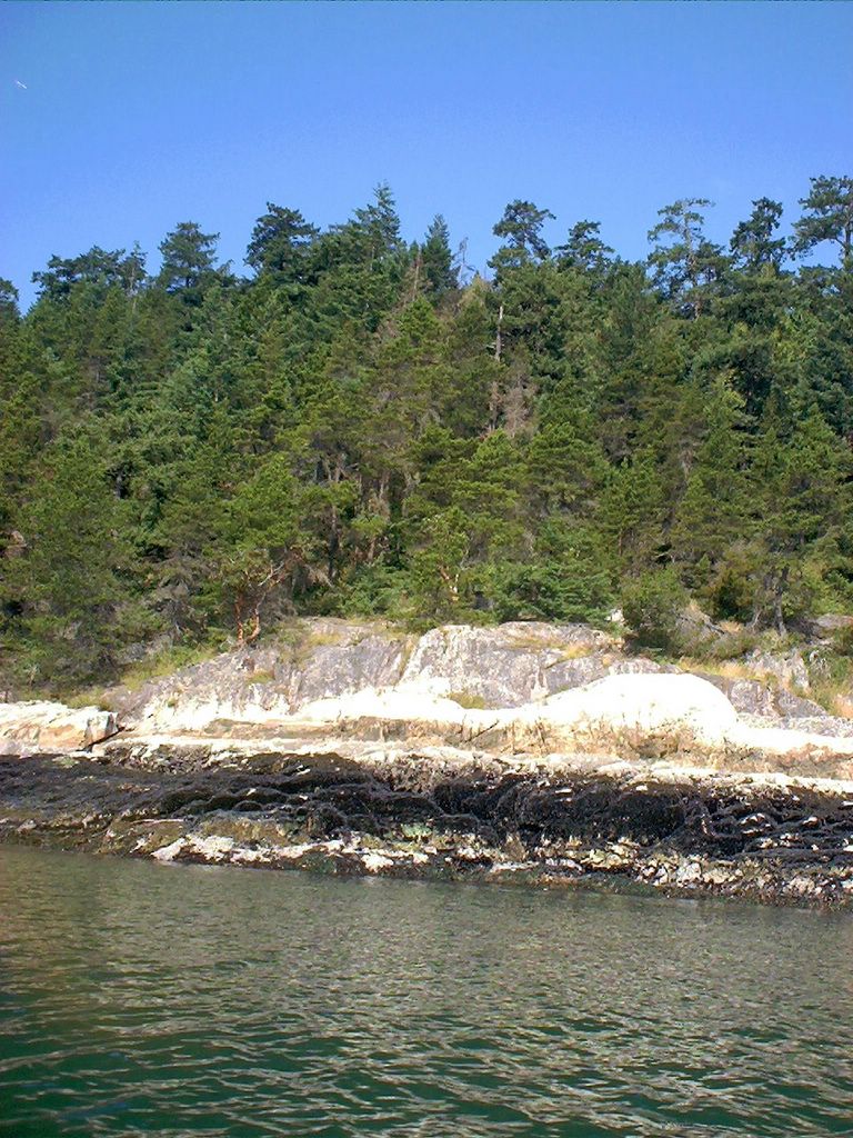
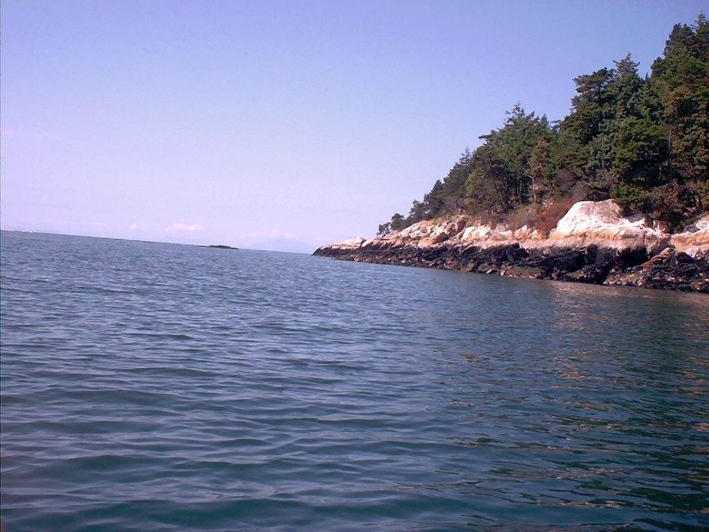
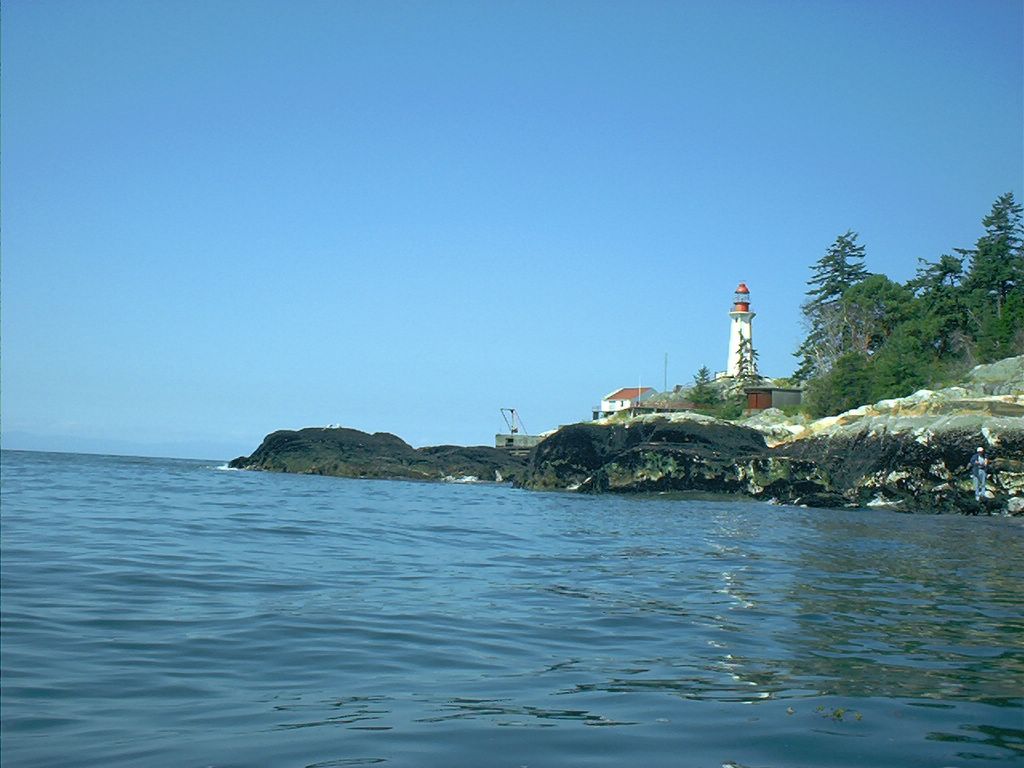
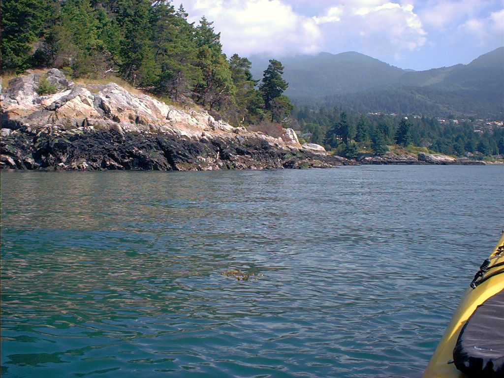
The southern shore of Lighthouse Park.
The southern shore of Lighthouse Park.
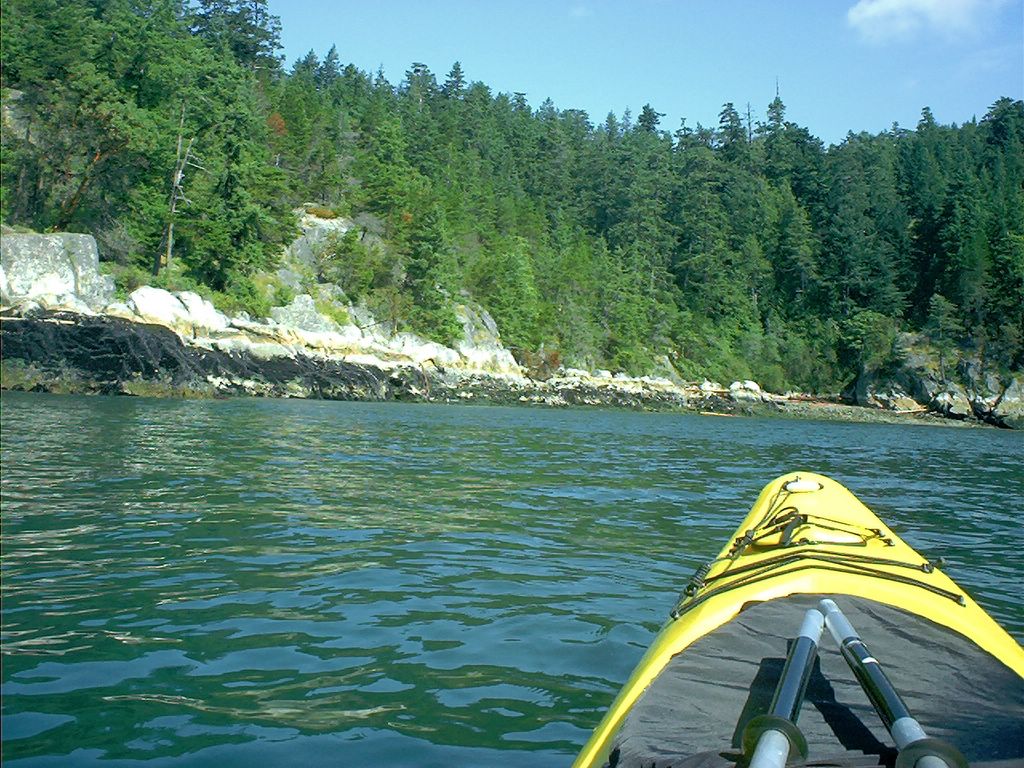
I'm tempted to round the point. However, the increasing magnitude of the swells and the realization that, having paddled 2 1/4 hours, I'll need at least that again to get home, encourage me to turn about. Another day!
Although barely visible in this picture, there is a noticeable swell as I near the point. Most kayaking books alert the paddler to the distinct possibility that conditions may change markedly once one passes point Atkinson.
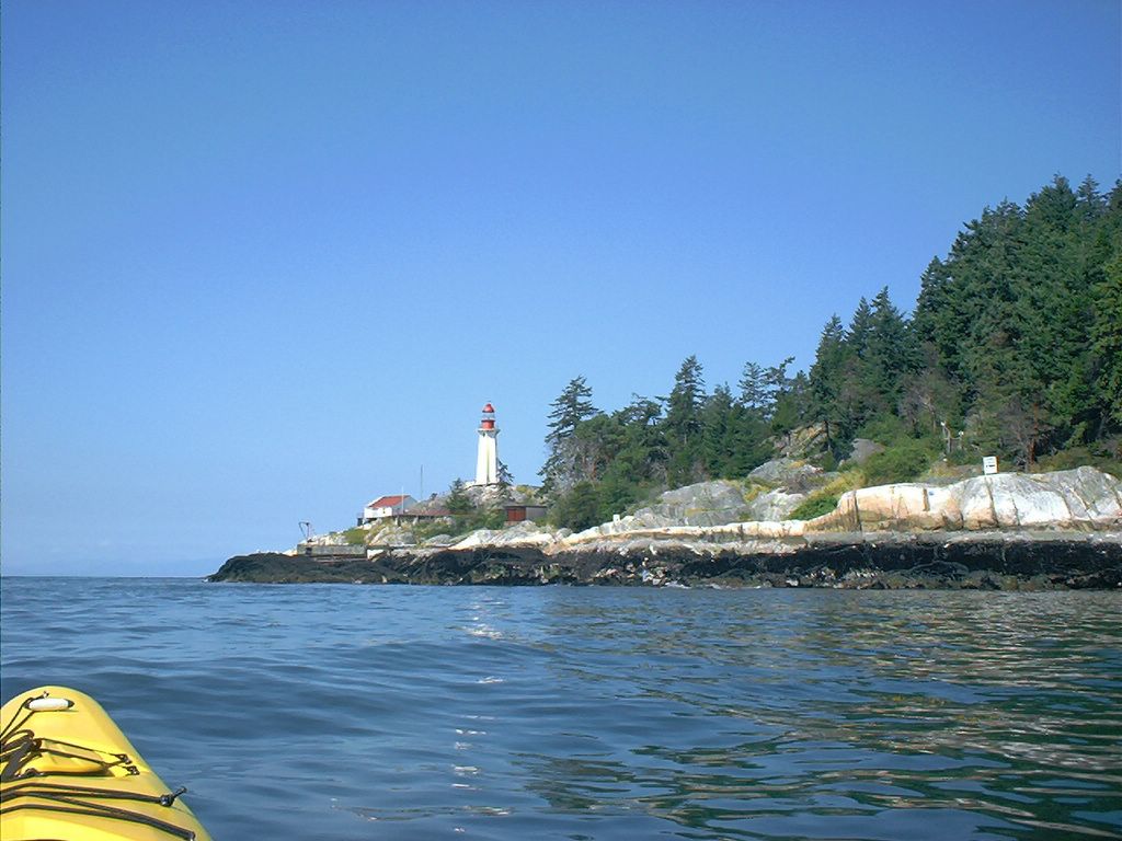
My destination: Point Atkinson lighthouse.
After taking some photos of the Point Atkinson lighthouse, I head into Starboat Cove.
Having made Point Atkinson, I turn about to check out where I've come from: in the distance the towers of the Lions Gate Bridge. This has taken me about 2 1/4 hours.
Rounding the point at Starboat Cove (part of Lighthouse Park).
Having turned eastward and into the shore, I spot a small bay (Caulfeild Cove) with a government dock (see map below).
I'll have to make a note of this public dock off Pilot House Road for purposes of a future trip.